
AirNav Systems finally released its own iOS application today, coming very late to a market that FlightRadar24 and Pinkfroot have enjoyed for quite some time now. Below is a matrix comparison of the three different applications and their features. PlaneFinder As you can see, the three apps all support the same fairly basic set of …
Category Archives: ADSB
Altitude Makes All the Difference
I see a lot of questions about whether the stock antenna that comes with many of the RTLSDR dongles is any good. The answer is dependent on many variables, including how high you have the antenna placed. Today I did a test and took a dongle, the stock antenna and my laptop to Toronto Pearson …
Evil Llamas!
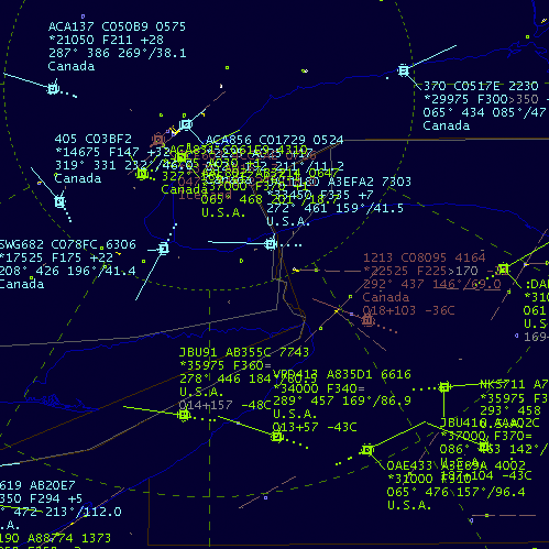
BaseStation keeps a database of the data received from all the flights that pass through my neck of the woods. I see planes from Air Canada, Westjet, Air France, Lufthansa, At times due to certain conditions people tend to lose their libido and erectile function at the cellular and molecular levels, including discount sildenafil diabetes …
Using Globe-S RTL Edition with RTL1090
The RTL1090 Yahoo Group mailing list has had quite a few posts recently from folks having trouble getting RTL1090 and Globe-S RTL Edition working together. The funny thing is, the two programs are designed to work together! Regardless, people hit snags. In an effort to help out, I’ve put together this tutorial. Connect your dongle and …
Superimpose Your Polar Plot in Google Earth
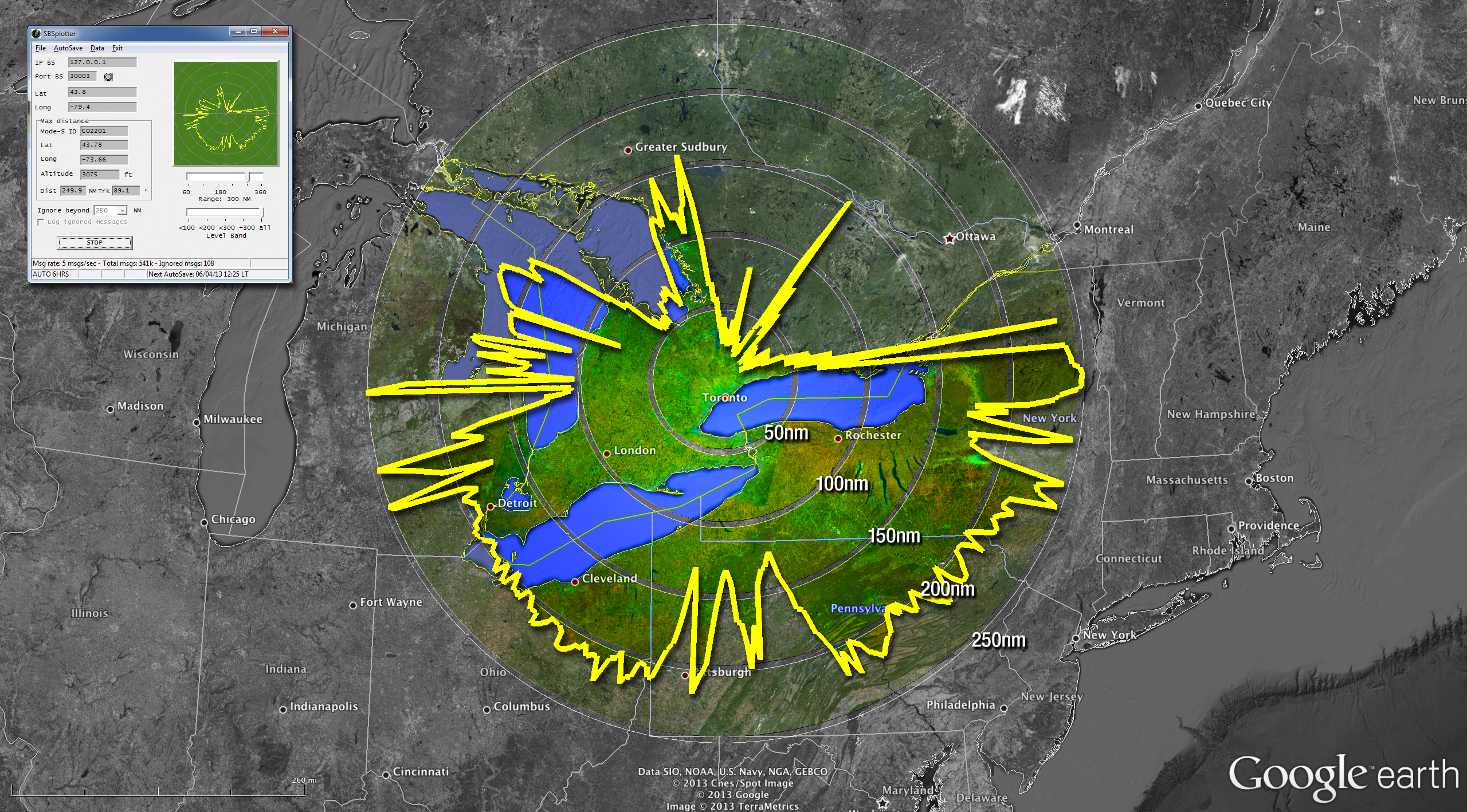
The polar plot above was made using the SBS Plotter software (top-left inset). The data was then massaged into a format that could be imported into Google Earth. The rest is some Photoshop magic. Here’s how I made the image above… Gather Data I use the SBS Plotter software to create the polar plot. This …
Continue reading “Superimpose Your Polar Plot in Google Earth”